Banff Alberta 9th ICA Mountain Cartography workshop, April 22-26, 2014

Abstract:
Traditional panoramic illustrators – we really should be obsolete
Eckhard Zeidler, Z-point graphics, Lillooet, BC, Canada; zpt@informationdesigned.com
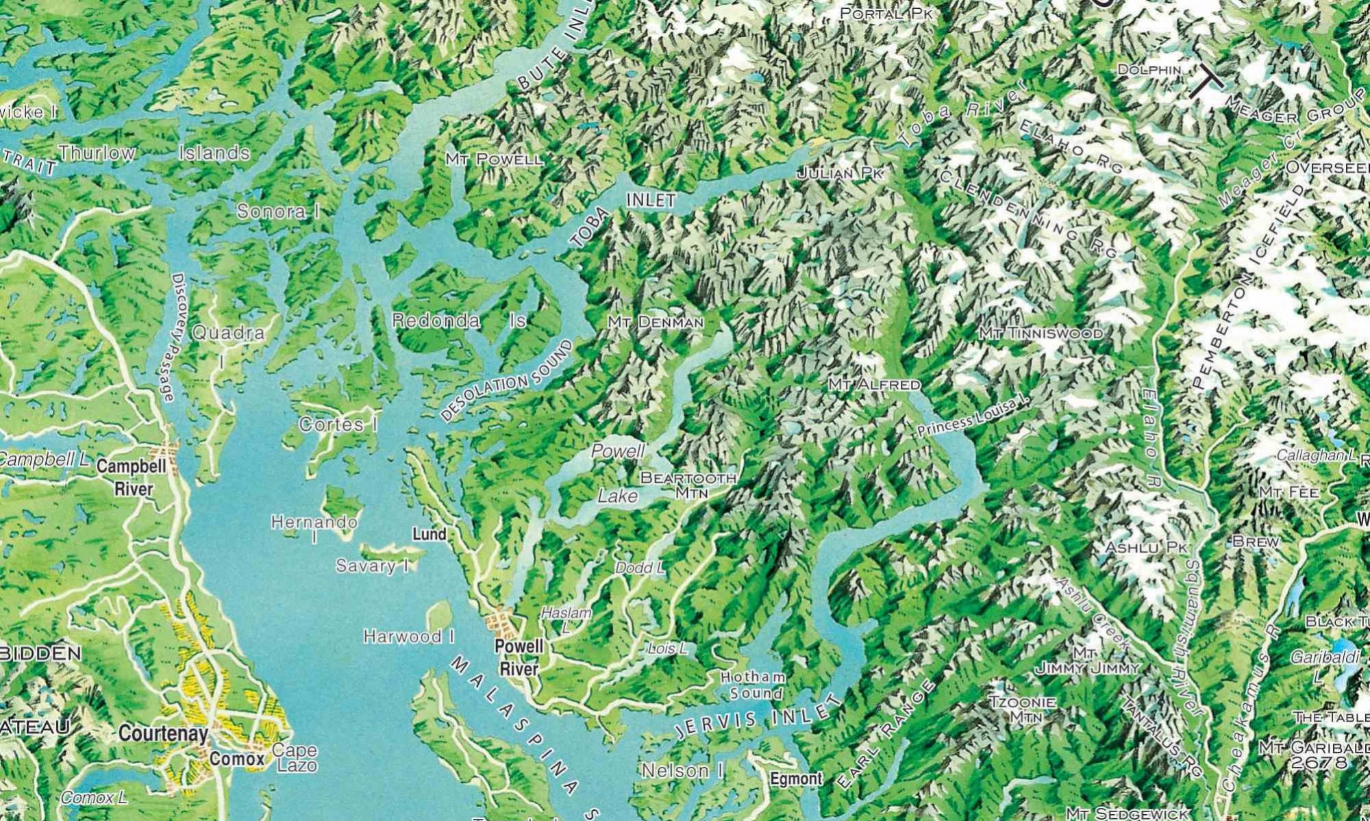
Researched and painted over a four year period in the mid 1990s, this panoramic illustration was created entirely by hand, extending across the Coast, Interior and Rocky Mountains in the two westernmost provinces. While living in Europe, Zeidler was inspired by the work of Heinrich Berann, in particular the panoramic illustrations of entire countries and continents. Certainly the varied and beautiful topography of Western Canada deserved no less an impressive image. If Zeidler didn’t paint it who would?
Analyzing the panoramas of Heinrich Berann and the Studio Berann-Vielkind led to an understanding of the perspective techniques employed, as well as their creative use of distortion. It was critical that the illustration present the tremendously varied landscape in a way that showed the distinctly different landforms of the area. The Northern Rockies for example have an entirely different look and feel than the Monashees, the panorama had to reflect that character.
Months were spent scouring used bookstores for every book and magazine that had images of BC and Alberta. Every image was logged into a database corresponding to the 1:50,000 map sheets. An almost complete collection of Canadian Alpine Journals provided not only photographic images but also hand drawn maps and figures. All these came together to create a mental image of a small part of the vast landscape.